Drone Mapping
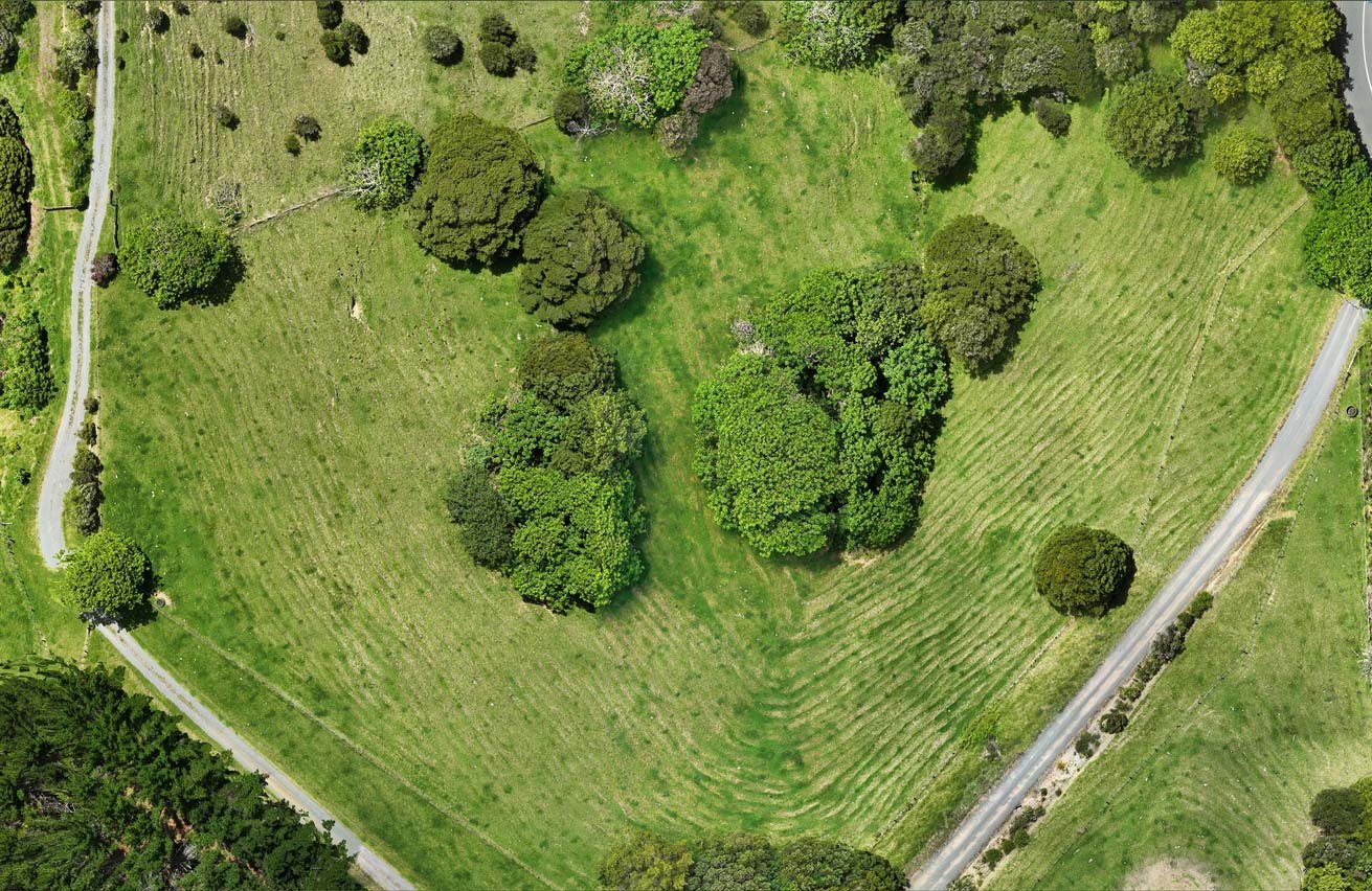
From our mapping drone we create centimetre accurate aerial survey maps of your property which we use for precise flight pathing operations. This ensures we can identify all obstacles, hazards and no spray areas to ensure the spray drone is operating as safely and efficiently as possible.
If you are interested in monitoring the health of your plants, then multispectral scanning is a fantastic way to do so. It works by scanning waves of light invisible to the human eye, such as near infra-red and red edge. In its most simple application, these scans can show plant vitality through the chlorophyll content in the leaf and can help identify plants that are underperforming or need special treatment.
We are an accredited Pix4Dfields operation, the industry standard software to analyse and order all the data the drone captures. Get in touch with us to see how this technology could work for you.